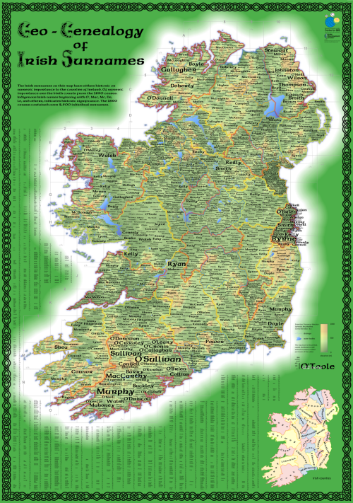
 In celebration of St. Patrick’s Day, “Geo-Geneology of Irish Surnames” is a map of the spatial incidence of surnames from the 1890 Irish census. It won a few awards at the 2009 Esri International User Conference including special design recognition by the Cartography Special Interest Group as well as the British Cartographic Society’s John C Bartholomew award for small scale thematic mapping.
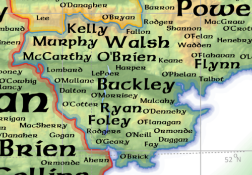
The use of text as a proportional symbol has become a fairly widely used mechanism for combining a quantitative measure with a symbol that has literal meaning. Here, the size of the surname is proportional to the number of births in the census year. The map also makes considerable use of Irish symbology to give the work a particular cartographic look and feel. The overall colour is predominantly green to reflect the impression of an ‘Emerald isle’ and the use of highly saturated colours was deliberate to attract people in a large gallery space. The celtic typeface and matching border are typically Irish and the work simply wouldn’t have had the same impact if the authors had used alternatives.
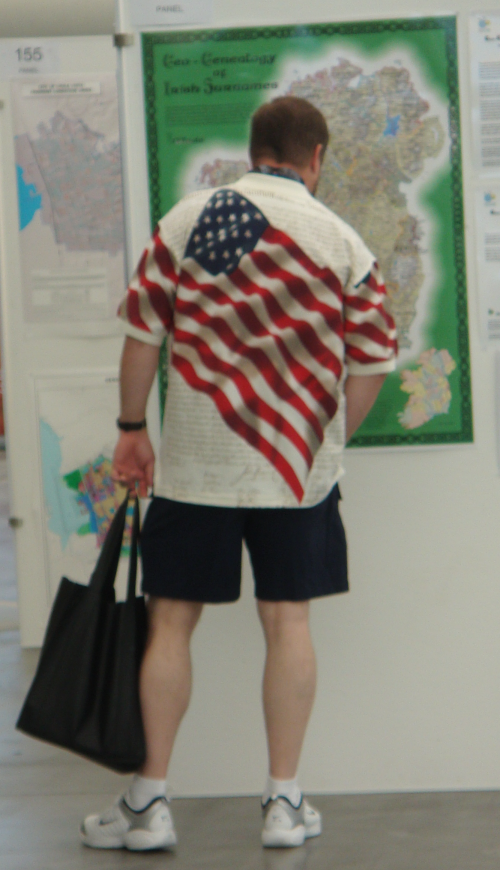
The map was designed to work at a map gallery where many would be interested to trace their Irish ancestry. The authors wanted to draw people in; to get them to relate to the detail and to search for their name. It was designed for a very specific audience and purpose. It worked.
You can download a copy of the map here and see an interactive version here.


Pingback: MapCarte 292/365: The Ways of the Framers by Daniel Huffman, 2011 | Commission on Map Design