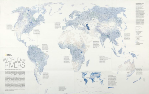
 We’ve featured National Geographic maps and posters before in MapCarte because they are truly some of the most beautifully researched, designed and presented maps around. Their standard and commitment is of the very highest quality and non moreso than this 2007 poster of the world’s rivers and basins.
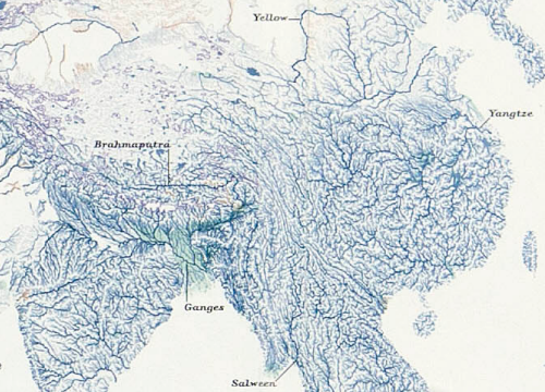
The map is built from a large georeferenced dataset that was used to create a detailed hydrological model of every river channel and the drainage basins it defines. It’s not really the intent of the map to illustrate every individual river channel uniquelly (for that, you’d explore the data interactively) but, rahter we get an overview. The colouring for river channels creates aa blue landscape with larger rivers classified by discharge and given prominence with wider, darker symbology. We get an impression of river network density and subtle green shading demarcates wetlands and red, arid areas.
Major rivers are labelled and the map is fully annotated with information to enable the reader to explore further and interpret the detail accurately.
The map also illustrates how using one dataset can provide a world map with no other detail. There is no coastal outline present yet the map’s content defines the land and water boundary.

