Dutch cartography is renowned as amongst the very best, principally due to the many dutch cartographers, engravers and printers in the late 16th and early 17th century who formed the period known as the Golden Age of Dutch Cartography. Joan Blaeu was one of the very finest cartographers, son of cartographer Willem Blaeu though originally qualified as a doctor of law. Joan Blaeu became official cartographer of the Dutch East India Company. Alongside his father, he published many atlases and globes, initially using the copperplates purchased from the widow of another cartographer Jodocus Hondius II. Their first original atlas was published in two volumes in 1635 entitled Theatrum Orbis Terrarum. In itself, this was a magnificent pice of scholarly work but here, we celebrate perhaps his finest achievement, the Atlas Maior.
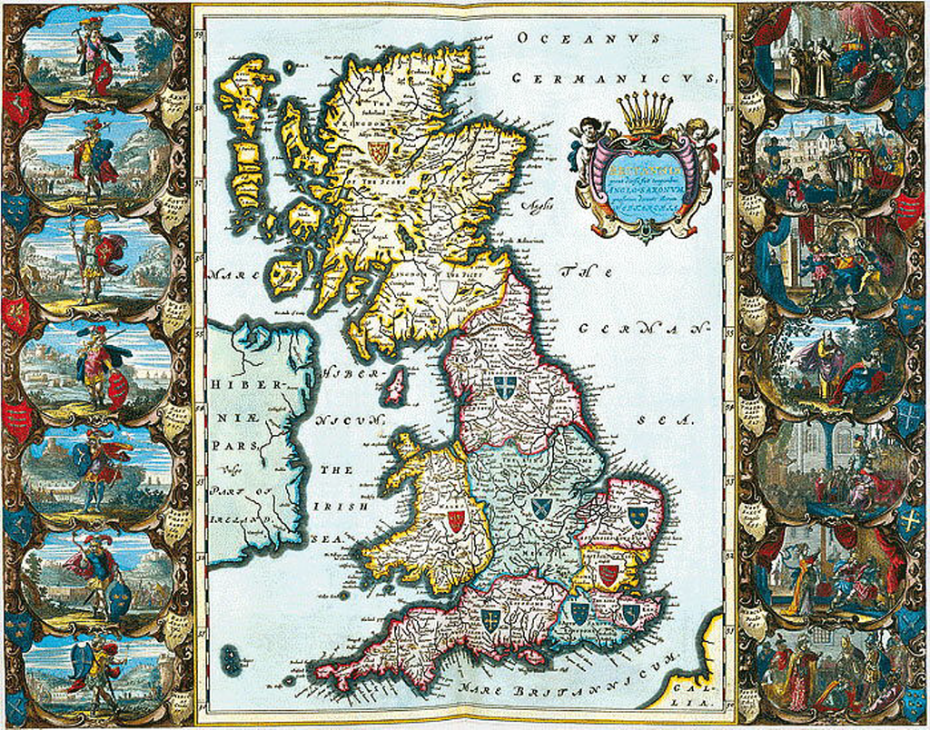
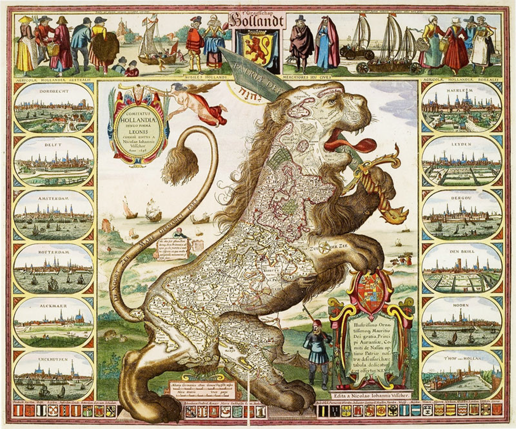
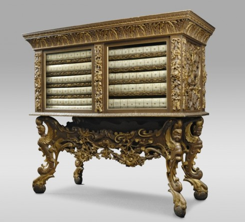
After his father’s death, Joan Blaeu carried on the business and made many atlases, often working alongside other notable cartographers of the time. His Theatrum evolved into his final work, the Atlas Maior which had a monstrous 594 maps bound in eleven volumes and in its own ornate case (in the Latin version). This was the largest and most expensive book published in the 17th Century and contained some of the most detailed and finest cartography of the period.
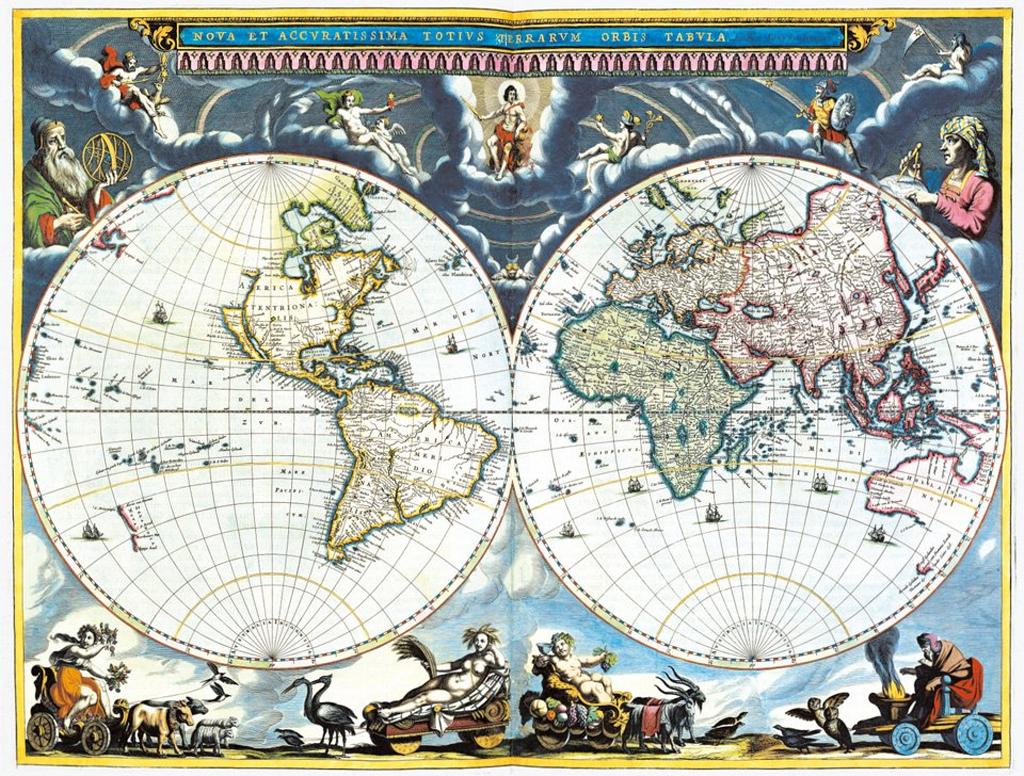
The maps are designed to showcase not only Dutch knowledge and world explanation but also cartographic expertise. They contain dense, rich information with beautiful and ornate layouts. The colours are vibrant and used to delineate different countries or regions with internal vignettes. Typographically, the maps contain a wealth of information using legible but ornate calligraphy. The many cartouche and painted marginalia add to the sense of this being a comprehensive work both scientifically and artistically.
Blaeu had originally intended Atlas Maior to be the first of a much larger series. It contained maps of the earth, sea and heaven yet he intended to add maps of the coasts, seas and oceans in a second edition and of the skies in a third edition. He died before he was able to fulfil this ambitious opus yet even still, Atlas Maior is one of the most important works in the history of cartography. The design of such a large project was both revolutionary and brave.