 Mental maps occupy our mind’s eye and help us understand our world. Each of us holds a unique picture of the world that varies in accuracy and quality according to our knowledge and experience of a place. We tend to know familiar places very well and less familiar places not so well. That much seems obvious. But other variables play a part such as our imagination and the way in which our perception of a place can be fundamentally shaped by a range of factors. For instance, we may think we know a place well if we watch a television series set in a specific place. We get to know places even though we have never been there…though of course our view is shaped by the lens through which we’re experiencing that place.
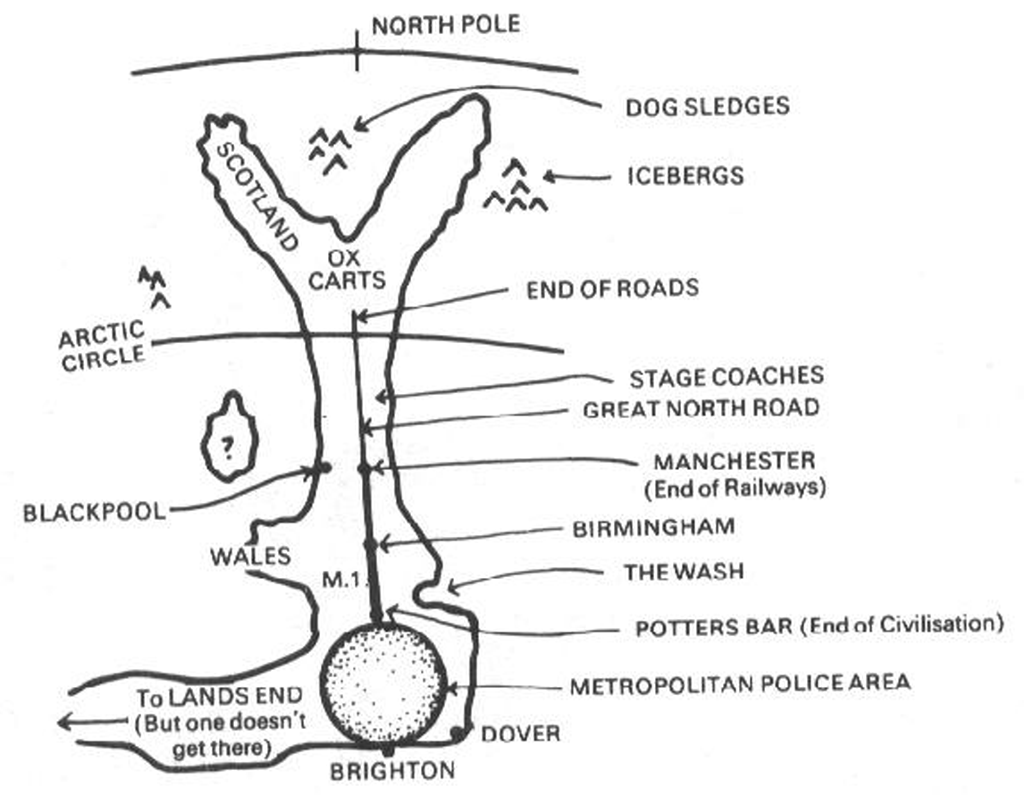
Stereotypical views also shape our mental maps strongly, particularly those that border on humour. This classic example of a mental map drawn from the perspective of a Londoner and showing their view of The North illustrates the combination of humour and stereotype and how that translates into a heavily generalised map.
The shape of the country is massively distorted with the south east exaggerated and everywhere else drawn as smaller and less important. London itself is defined by an arbitrary boundary reflecting the Police force administrative area which amusingly touches Brighton (often known as London on Sea due to the large influx of London residents to the seaside on a hot summers day). Wales is but a pimple and Scotland’s shape bears no resemblance to reality. The entire geography of the UK hangs off a single road – the M1; the main northbound road but by no means the only one. Indeed, the M1 finishes in Leeds and doesn’t even go through Birmingham or Manchester where it seems to magically turn into The Great North Road.
The map depicts Scotland as being so far away it’s within the Arctic Circle and not at all far from the North Pole…but then when you appreciate that Londoner’s might consider Potters Bar as the end of civilisation you begin to understand the perspective a little more.
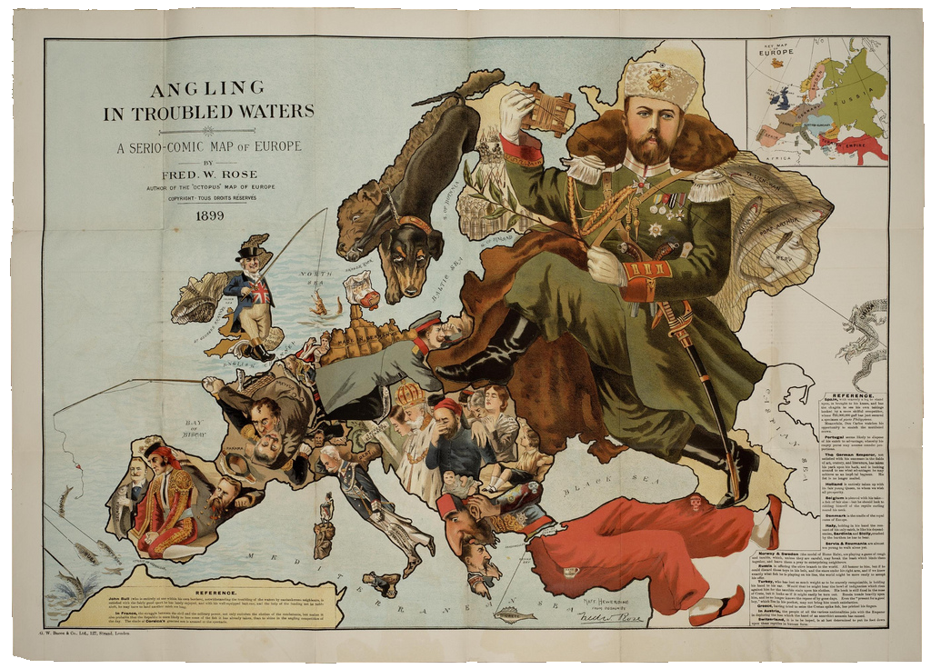
Such serio-comic maps add some humour to cartography and illustrate that maps can be used as mechanisms to illustrate the modified geographies in our minds. More seriously, they do illustrate that making a map can so very easily incorporate error, bias and uncertainty whatever map is being made and by whomever.