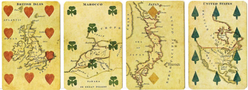
 English bookseller and stationer Charles Hodges original Geographical Cards were published in 1827 and subsequently in 6 different versions until c.1830 when he ceased trading. They have become highly collectible and prove the versatility of maps in their ability to suit a wide variety of purposes. Here, as a backdrop to the most simple of games – the humble pack of playing cards. To this point, there had been a tradition of creating playing cards with engraved representations of educational and scientific subjects. Hodges carried on this tradition by using maps as the focus of his own cards. The cards were made and manufactured by Stopworth & Son in London.
The Aces show maps of the four main continents of Europe, Asia, Africa and America. The court cards depict historical persons representing the continent and the other numerical cards show maps of the respective countries. George Washington is the King of Spades and King George IV is the King of Hearts.
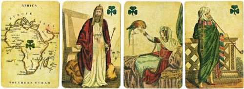
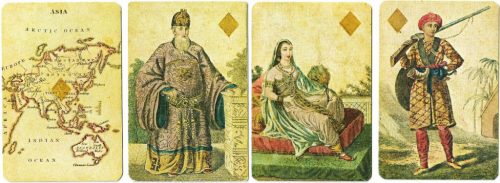
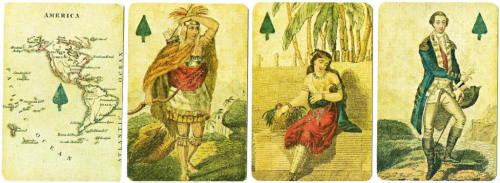
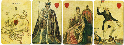 The maps themselves are small format (obviously) but in this case small is beautiful and each map is exquisitely engraved and coloured. Coastlines benefit from a waterlining vignette and for such small maps, the typography is of a suitable level of detail and shows excellent positioning. In every sense, these are excellent maps albeit their primary purpose is illustrative in support of the deck of cards.
Hodges later made use of the same printing plates and produced a game using cards that had no suit information but, instead, had the longitude and latitude of capital cities printed as well as more elaborate colouring, particularly in the colour applied to the seas and oceans.
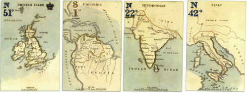 He also produced a set of forty cards without suit marks or the court cards simply as a miniature atlas. These appeared in a small slip-case and had gilt-edges.
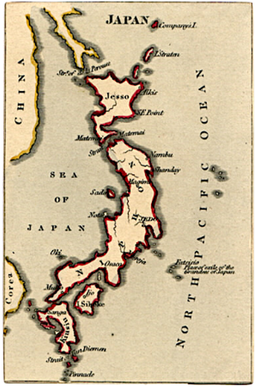 Maps can be used in myriad ways and as a mechanism to provide not only an attractive illustration but also additional interest. A beautiful way of using cartography.
