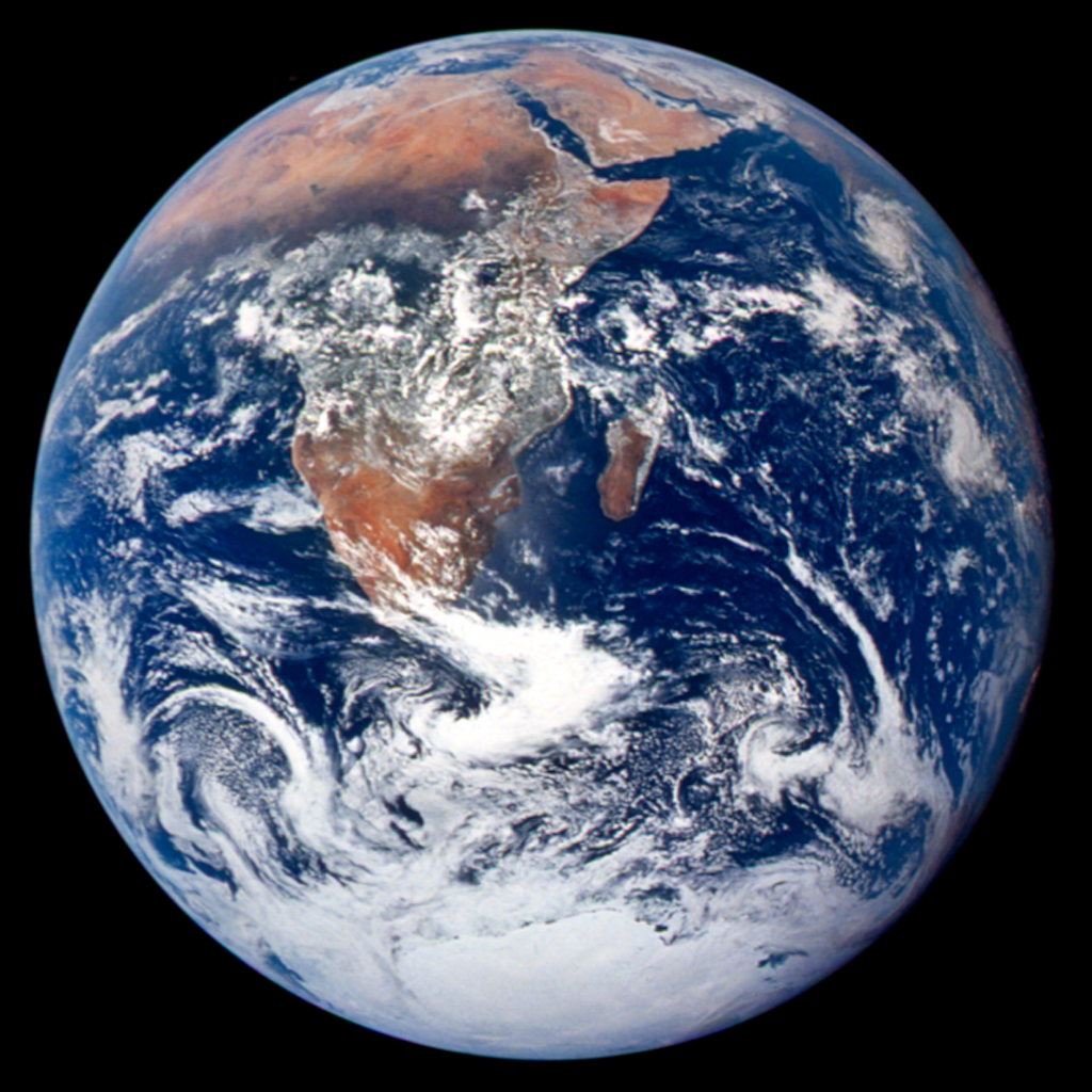
 We’ve already seen the power of remotely sensed imagery in MapCarte 115 where the focus was on the Landsat satellites, one of which took a remarkable image of the attack on the New York World Trade Center on September 11, 2001. Of course, remotely sensed imagery is simply data, processed in the case of Landsat to render a true-colour image that gives the illusion that we’re looking at a photograph. Photographs are different to images built of data in the sense that they capture information in the same way as we see it with our own eyes. They are created when visible light reacts to a photo-sensitive surface such as film or, in digital cameras, a CMOS chip. Photographs also capture a moment and are unique in that they give us an instant portrait. Here, we focus on the beauty of photographs as a means of capturing information about our world. There are a multitude of photographs we might have chosen and aerial photography (and photogrammetry) is its own sphere of cartographic science. But a photograph has the power to evoke emotion. Someone pushed the shutter and captured the picture. A human being was involved in the creation of the image.
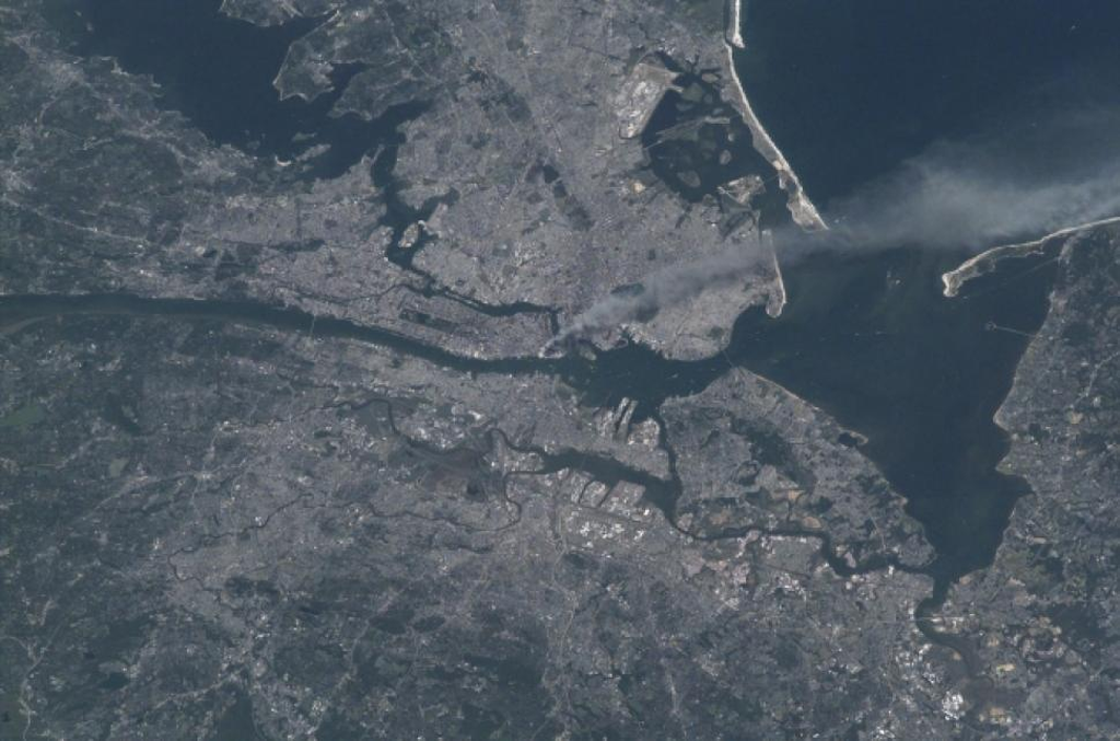
Here, we show a simple photograph taken in a remarkable way of the same September 11, 2001 terrorist event in New York City. The picture was taken showing a smoke plume rising from lower Manhattan iby astronaut and Expedition 3 Commander Frank Culbertson. Culbertson was the only American not on planet Earth on that day. He was aboard the still under construction International Space Station orbiting 250 miles above the planet. As the craft was due to pass over north east U.S. he grabbed a camera expecting to capture images of New England but instead he saw the smoke passing across lower Manhattan. With no access to video feeds, communication with mission control soon established what was going on and with every orbit Culbertson could see the events unfolding, later seeing a gash in the Pentagon.
He has since said that one of the remarkable outcomes in a visual sense is that all of the con-trails of planes criss-crossing the U.S disappeared as air space was closed…except for one heading towards Washington D.C. – Air Force One carrying President Bush.
Photography has always been an important part of map-making and the design of many maps and map products relies on aerial photographs. Here, the photograph can be used in its raw state. We don’t need an abstract map to be made to point out the features and events. The photograph does that job.