
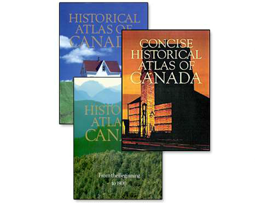
 Any atlas project will undoubtedly set out to chronicle a place in detail, attempting to leave no stone unturned in its quest to be a definitive, authoritative statement. Not many atlases actually achieve that almost unattainable level but the Historical Atlas of Canada does. Prepared as a three-volume set of print atlases and published between 1987 and 1993 the detail and execution is breathtaking. These are hand-drawn maps, each of which is a masterpiece in its own right but as a collection gives us a picture of the historical development of Canada that few other countries can similarly point to. The themes you would expect to be covered are all there, presented in rich plates with detail and attention to detail.
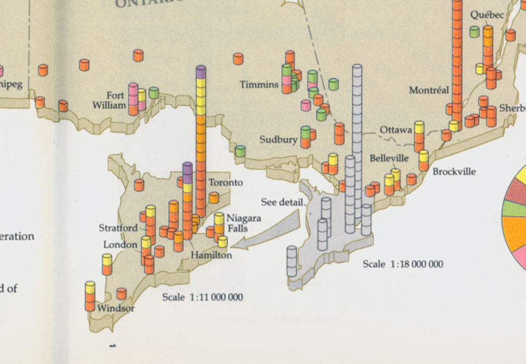
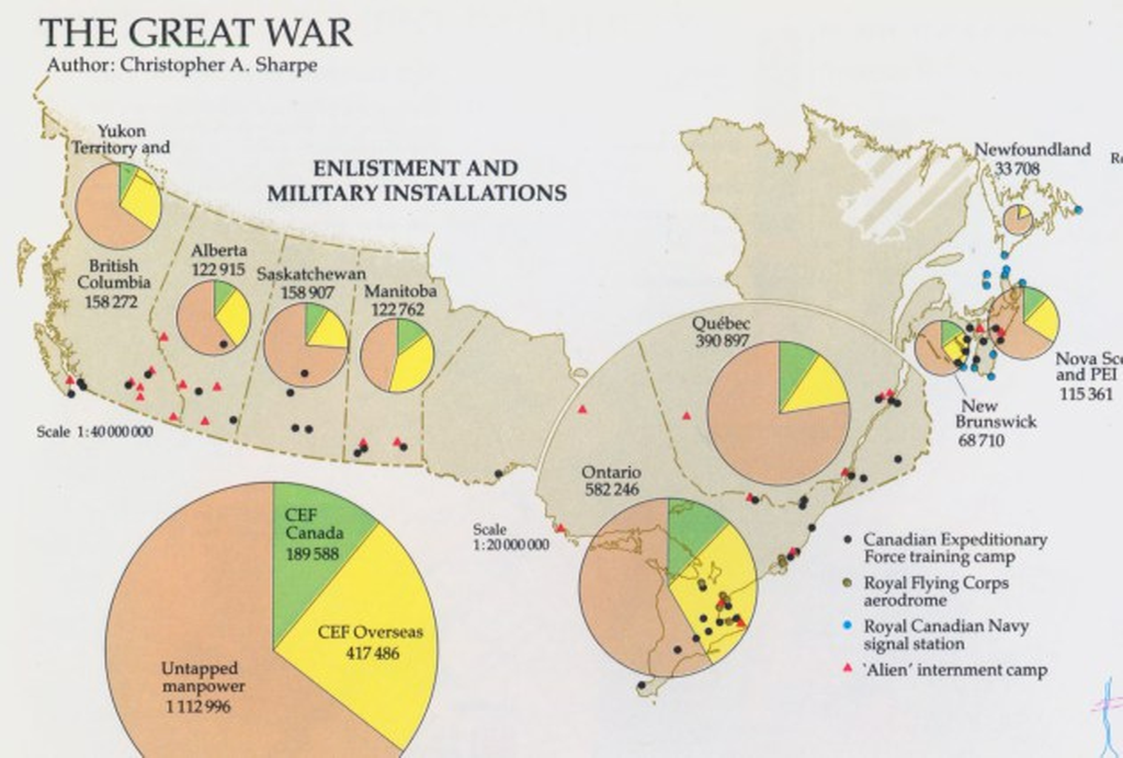 The complexity of creating an atlas like this which demonstrates not only a depth of scholarly activity but a craftsmanship of the highest order is mind boggling. Each map is somewhat innovative in its own way whether it be the use of insets that are used to magnify certain areas, or how smaller areas are sometimes greyed out while a larger version takes precedence, or how 2D is mixed with 3D gridded proportional symbols that aids our interpretation of magnitude. Each map brings something unique to cartography and as much as it acts as a record of Canadian history it should be used as a model of cartographic excellence too.
 The atlas has latterly been made available as an online project and while there’s sense in this because it has the potential to reach many more people, the exquisite nature of the cartography and the way in which turning the pages allows you to interact with the maps in a human way is perhaps lost.
 This is an elegant collection of maps deserving of the status of atlas. It’s a compendium of cartographic delights.
You can browse the online version here.
