
The general mode of production for maps these days requires a mastery of the computer. Whether you use proprietary software through a Graphical User Interface, or code your map from scratch the basic toolset is one of mastery of a computer. Of course, technology in cartography has always changed and the experts of the tools of the time always rise to become the cartographers of the time. This was the same when it was copperplate engravers, drawing pens, scribing tools as it is today with computer scientists. When we see maps constructed differently they often stand out. It’s also the case that if they are made by someone with a mastery of their specific tools they stand out all the more.
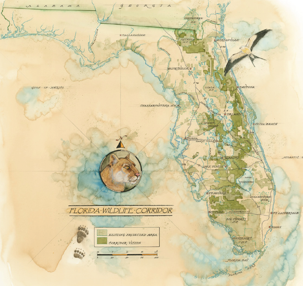
And so it is with Mike Reagan’ map of the Florida Wildlife Corridor, painted in watercolour. There’s a certain human element that one might argue is missing from many maps where our own skills are mediated by algorithms and a computer’s precision but when painted, the artist’s skill becomes visible to all. The landscape is painted in shades of beige and greens and reflects land use types with a consistency of colour hard to achieve by hand. The map is also hand-lettered but again, consistency is upheld which gives the map a sense of uniformity and structure. These aren’t random marks; they’re carefully crafted; each one resulting from a decision.
Paintings evoke emotions because we see them as art. Painted maps can do the same.
