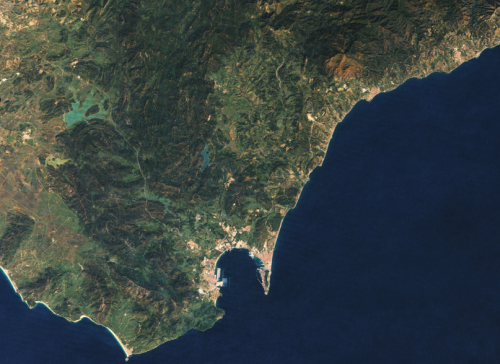
 Aerial photographs and remotely sensed images have not only been used for decades to derive map detail but they are increasingly used as the map itself. This can provide a detailed view of the world as it exists rather than the abstract landscape that a map often presents. Of course, problems of cloud cover, poor resolution and mismatched imagery, often captured at different times of the year can create a less than pleasing result.
A fresh approach to making a mosaic of NASA’s LANCE-MODIS data has been developed by Mapbox. Rather than taking the best image of a particular place and then quilting them together, Mapbox stacked images and processed them, pixel by pixel to get the average of the least cloudy pixel before stitching it all back together to create a seamless cloud-free atlas. Completely synthetic but a great example of using generalisation techniques to create a product that is greater than the sum of its parts (literally). Beautiful, consistent imagery.

