
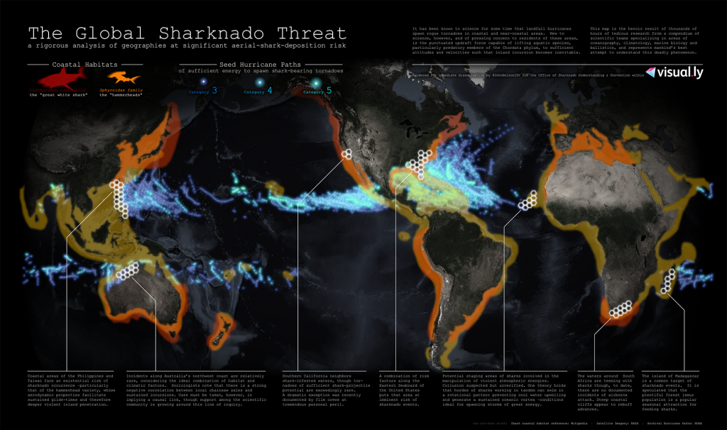
Maps don’t have to be serious but that’s not to say ‘fun’ maps cannot eschew design. This map of the sharknado threat to humankind reveals the terrifying impact that coastal hurricanes have on our fragile ecosystem. Rogue tornadoes have such an updraft that they are capable of lifting even large aquatic species (sharks) and propel them inland. What untold damage may occur from inland incursion of sharks is unimaginable…yet this map sets it out plainly.
John Nelson has applied some of his almost signature styling of using extremely dark satellite imagery as a basemap with thematic detail rendered in highly saturated colour overlays. Historic tornado data is mixed with species habitat and the threat zones identified with the scientific precision of hexagons. Text sets out the problem and adds to the frivolity of the work but regardless of the fanciful subject matter this map won a design award at the FOSS4G conference in 2013.
As we see in many imaginary maps, or maps of imaginary worlds, high quality cartography brings a certain realism to the subject matter. If it’s mapped well…it must be true. This, of course, is also the case more generally so it’s worthwhile looking a little closer at the next great map you see to establish whether it’s real…or unreal.