
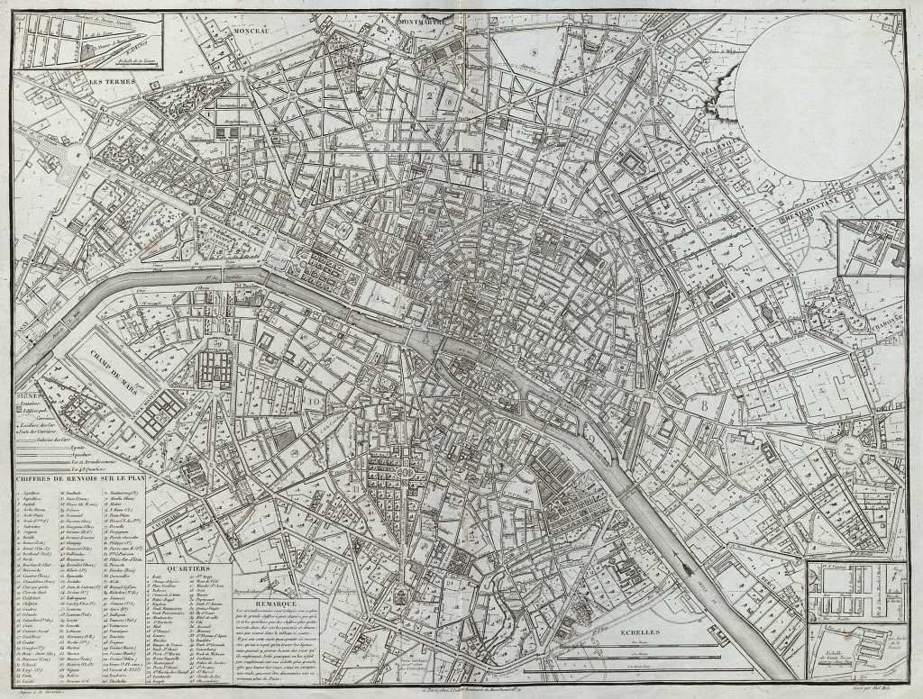
 In the early 1800s the rapid development of cities in many ways underpinned developments in urban and cadastral mapping. Demand for large-scale maps to provide a mechanism for the design of new facilities and infrastructure were similarly great. The costs of producing individual maps were, however, also great since maps were still largely produced using copperplate engraving. What was needed was a template. Here, Maire’s untitled (blank) map of Paris shows how a template can be used to good effect in cartography.
A typographic engraver by training, Maire published a range of maps and atlases. For his administrative atlas of Paris, he required multiple maps each of which illustrated a particular theme. Rather than creating multiple copperplate maps for each theme, Maire prepared one plate, each with a blank round cartouche in the upper right. The detail on the map contained the basic topographic elements of Paris and labels. Fourteen of the maps in the atlas were printed with a pasted title label. Three of the maps at the back remain blank, presumably for additional maps as required. Below, an example of one of the finished maps showing water conduits supplying Parisian fountains.
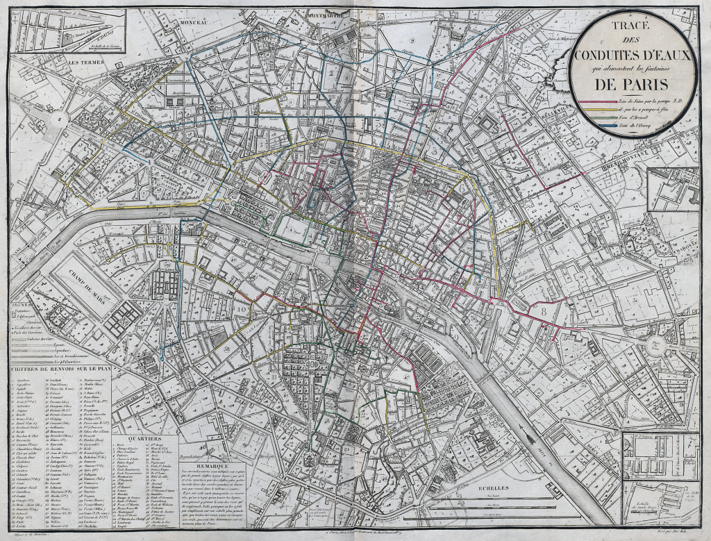
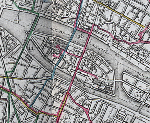
Each map was devoted to a particular topic (e.g. markets, lighting districts, sewers) and the thematic layer was added by hand using colour. Because the base map was printed in monochrome the additional thematic detail in colour was able to sit atop perfectly and bring focus to the detail. The underlying, consistent geography gave the Parisian engineers and bureaucrats a way of situating the themes in the city.
Of course, map-makers now routinely use templates to support their work including published basemaps, map services and even web page layouts. Most atlases of the time were prepared using hand coloured copperplate prints but generally speaking each page was prepared using a separate plate. Here was an innovative solution designed to create consistency and efficiency; particularly good for large-scale thematic mapping of the same geographical area.
